Banasura Hill Trek
Banasura Hill Trek
| Region: | Kerala |
| Duration: | 2 Days |
| Trek grade: | Moderate |
| Maximum altitude: | 6,660 ft |
| Best Time to Visit: | September to January |
A trek in Kerala is a different experience in the whole. Its Banasura Hill Trek validates this concept. Alongside it being the Banasura Hill Trek, Wayanad serves as the base of two other interesting hiking trails in the region, specifically Chembra Peak. Each trail is unique and offers diversity and distinctness. On this particular trek there is a Banasura Sagar Dam. Banasura Sagar Dam is a part-excursion. It’s nevertheless important to know that it’s India’s biggest earth dam,thus warranting attention as an individual attraction.
Highland Fling
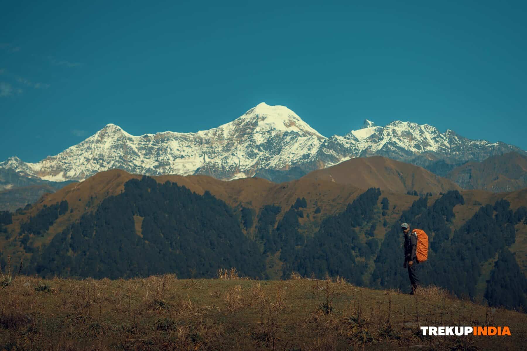
This Banasura hill trek could be best described as an highland fling. It’s simple to be enthralled by this spot. The trek route winds through lush grasslands which cover the valleys. The beauty of the Shola forests is evident in various stages of the hike. The view from that Karamanathodu stream that flows into the Kabini River from the trail get better with every passing second. The interaction of the receding fog and the sunlight’s rayswill create the ideal tempo for hiking. The sunlight rays are trapped by the fog prior to getting to the trail which gives the scenery a distinct shade at both dawn and sunset.The three-hour ascent to the summit of the Banasura mountain is thrilling and exhausting as the path is steep and undulating while also being a bit steep. The hill’s base is marked by evergreen forest and is filled with coffee plants and a variety of reptiles.
Who is this journey aimed at?
The trekking spots located in Kerala are well-known as perfect for winter trekking including the Banasura Hill Trek is no exception. This isn’t an easy trek for beginners. This is a trek for those who have completed some hikes in the south, and those with good level of fitness. The climb to the summit of the hill can be extremely strenuous. Although this hike doesn’t present any difficulties it is strongly advised to do the trek in winter. It’s extremely humid in the summer months and also too slippery in the monsoon season.
Banasura Hill Trek Detailed Trail Information
Day 0 The drive is From Bangalore to Kalpetta and Wayanad
- The distance covered is288km
- Average time taken: 8 hours
If you’re travelling through Bengaluru through Kalpetta (Wayanad) If you are traveling from Bengaluru to Kalpetta (Wayanad), you must be aware that you will need to travel via NH 212 and a stretch of the high-way is within the Bandipur Tiger Reserve, which has put a night-time traffic ban in place between 9 pm and 6 am. Typically, the hike up to Banasura Hill is approached as an activity that takes two days. Get on the late night (Karnatakaor Kerala RTC) bus from Mysore Road Satellite bus station that will take you to Kalpetta the following day in the early morning at 8.30 am (considering the ban on night traffic in the Bandipur Range).If you have a big group, take your the vehicle you own or hire so that you are able to overcome the obstacle of night traffic restrictions and make plans according to your needs.
Day 1: The view from Banasura Sagar Dam
After you have reached Kalpetta Refresh and enjoy breakfast. It is possible to hire the services of a Jeep for the trip to Banasura Sagar Dam. Its views over the Banasura hills from above the dam is stunning. The existence of numerous islands within the impound is an amazing scene. It is interesting to consider that the creation of these islands was due to the submergence of the reservoir in the area. The starting point for the trek is 2.5 km far from Banasura dam. After lunch, you can walk up to Meenmutty waterfalls, which are 30 to 45 minutes away starting from the Forest Office (starting point of the Banasura Hill trek). The Meenmutty waterfalls are the biggest and most beautiful of the waterfalls in Wayanad. The waterfall’s height of 1000 feet is well-known because of its triple-layered waterfall.
After your visit to the dam and waterfall, you are able to go back at the Forest Office to inquire if they are able to set up your tents. If you want to, inquire with the forest office if they have rooms that are available.There are several small canteens or hotels near by. You can also inform them for a reservation breakfast, lunch or dinner.
Day 2
- Trekking distance: 18 kms (both-ways)
- Average time taken: 9 hours
The trail begins near the Forest Office. Be sure to start your trek early, but not later than 6.00 am. It’s a four to five hour hike, one-way. It is recommended to finish your breakfast at the beginning of the trek prior to starting the hike. The forest office requires that a specially-designed guide be with you throughout the hike. The cost for this is Rs.500per person. The cost for trekking and permits is payable at the office of the forest. The fee varies based on the length of time you want to hike.
The Trail
Be prepared for a steep ascent. The path is steep from the beginning and hard for about 45 minutes. Take your time especially when you’re on a slope. It is important to break every 15 minutes to rest, and drink a glass of water. There are areas that are brimming with leeches as well as thorny, dense bush. Take your time as you navigate through them. Follow the guide’s advice.Mid-way you’ll see 3-4 gorgeous mountain streams, you’ll be able to fill up your water bottles with them. On the way it is a good idea to sit and reflect on the hill you just climbed. The early morning lighting sets the entire landscape up on a pedestal , and it deserves all the praise it receives. After the ascent is steep and gradual ascent throughout the following 1.5 hours. This part is especially beautiful because you can walk across the rolling grasslands which have a yellowish tint. The grass is high to the knees and the trail also contains tiny boulders and stones. Be careful on the path. It’s physically exhausting on certain sections. The stunning beauty of the landscape is the only thing that can be a respite. The surrounding hills and peaks look threatening and seem more distant than they actually are.
The final stretch of 1 km is extremely steep, and you may be dehydrated due to no vegetation. If the sun is out and scorching the mountains, the ascent can be gruelling. You will find rock faces which you can have an expansive view of the hills. Keep walking through the trails There are numerous hillocks along the way towards the top.
The summit is the ideal location from which you can enjoy stunning panoramic views across the area. The mountain ranges stretch to as far as your eyes can perceive. Take a half-hour to visit the top.
The down
Following lunch on the top begin descending following an unintentional 15 minute break. Retrace your steps and descend on the same route. It typically takes 3-4 hours to ascend , as it’s a 9-kilometer stretch traversing thick bushes, mountains and grasslands with knee-high heights and slopes that are an angle of 60 to 70 degrees. A rapid descent can be very painful on your knees and can cause lots of stress on your heels, ankles and the muscles of your calf. Be careful when walking. If you begin the hike before 6:30 am the likelihood that you will return to your base by 4 pm are extremely high. This means that you could start your trek heading towards Bengaluru and then cross through the Tiger Reserve stretch before 9 hours and reach Bengaluru at 1 am in the early morning.
Want To Trek Like Pro?
Check out the following videos if you want to trek like a pro trekker and improve your skills. These videos contain helpful tips, tricks, and techniques to help you trek like a pro. Whether you’re a beginner or an experienced trekker, these videos can provide valuable insights to enhance your trekking experience. So, watch the videos below by Trekup India experts to take your trekking skills to the next level.
Know Everything About Acute Mountain Sickness
Acute Mountain Sickness is a medical condition that can occur when individuals travel to high altitudes, typically above 8,000 feet. It is caused by the decrease in air pressure and oxygen levels in the air as altitude increases. Symptoms of Acute Mountain Sickness may include headache, nausea, vomiting, dizziness, and difficulty sleeping. To avoid Acute Mountain Sickness, it is important to gradually adjust to high altitudes and seek medical attention if symptoms worsen. To learn more about this condition, check out the videos by Trekup India.


